Know where the herd is.
Know when something changes.
A solar-assisted collar on each animal. Your herd on a map, and a message when something needs your attention.
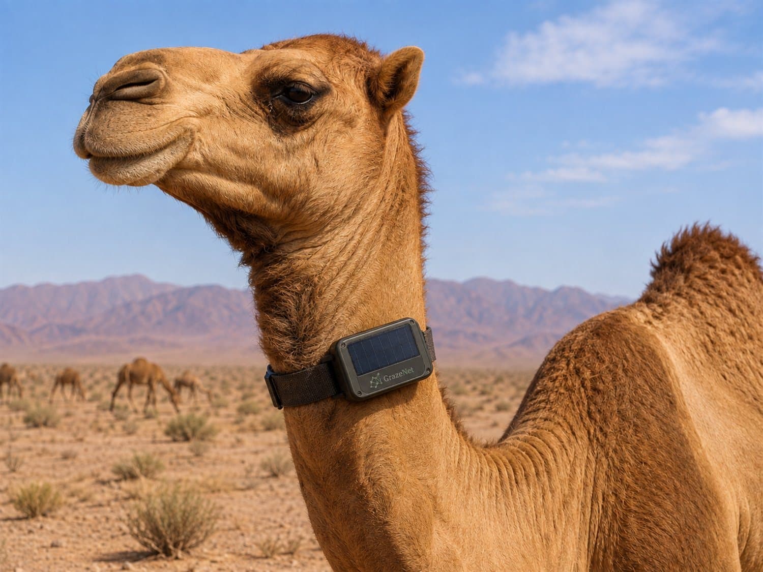
One small device.
Four jobs.
It uses sunlight to top up its battery, knows where the animal is, tracks how it is moving, and keeps it connected to the herd network.
- Energy: Sunlight tops up the battery to extend time in the field.
- Position: Where the animal is, and where it has been.
- Movement: How it is moving, and whether that has changed.
- Link: Collars stay in touch with one another so the herd network can adapt as the animals move.
The collar is designed with a gentle cue in mind, for virtual fencing later. It is not enabled on the collars being field-tested today. See the final section of this page.
Connectivity moves with the herd.
Animals graze, spread out and regroup. As distances between them change, the network reshapes: connections shift and new paths form through the herd.
Illustration. Link distances are not to scale.
One lost connection doesn’t have to mean lost visibility.
Cellular coverage changes across the range. If one collar loses its cellular path, its data can travel through the herd network to another collar that still has one.
Requires a path through the herd to a collar with cellular coverage.
The moment one moves away from the herd.
GrazeNet tracks each animal in relation to the herd. If an animal moves beyond the distance you set, you get an alert showing which animal, how far away it is, and where it was last reported.
Illustration. The alert distance is configurable for each operation.
No need to watch a screen.
Get alerts and quick answers directly in WhatsApp. Open the full dashboard when you want the bigger picture.
Illustration. WhatsApp is a Meta Platforms trademark.
From alert to location in seconds.
See where the herd is now and quickly spot any animal that has moved away from the group.
Current herd location
Updated 2 minutes agoIllustrative interface and sample data. © Esri imagery. Representative rangeland shown; not a customer site.
Where the herd has been.
See the routes the herd takes over days, and any animal moving differently from the rest.
240
Head
240
Reporting
3
Needs attention
1
Separated
Where the herd has been
Needs attention
3Daily distance
7-day movement trend
11.8 km yesterday
Illustrative interface and sample data. © Esri imagery. Representative rangeland shown; not a customer site.
Then zoom in on one animal.
See what the animal is doing now and how that compares with recent days. Not every collar reading, just the information that helps you decide whether action is needed.
Illustrative interface with sample data.
Not only where they are. Where they have been.
Move back through previous days and the whole map updates with you: where the herd was, which areas it had used, and where individual animals were at that point in time.
Movement history
NowIllustrative interface and sample data. © Esri imagery. Representative rangeland shown; not a customer site.
From tracking movement to guiding it.
A boundary drawn on the map rather than built on the ground, with a gentle cue from the collar as an animal approaches it.
Virtual boundaries are built into the product roadmap but are not yet enabled in field testing.
Use the dashboard when you want the full picture. Get a message when something changes.
Use the dashboard when you want the full picture: where the herd is, where it has been, how it uses the range and where coverage is weak.
Get a message when you only need to know that something changed, then reply for the detail you need without opening the dashboard.
Know where they are.
See the herd, and every animal in it, on one clear map.
Know when something changes.
Set the distance that matters to you. If an animal moves beyond it, GrazeNet alerts you without requiring you to watch the dashboard.
Stay connected across the herd.
When one collar cannot reach the cellular network directly, its data can be relayed through nearby collars that still have a connection.
Start with one herd.
GrazeNet is currently being prepared for early field pilots with camel operations. A pilot can begin with a single herd to validate coverage, tracking, alerts and real-world collar performance.
Interested in a pilot?
GrazeNet collars and the monitoring platform are currently in field validation.
Virtual boundaries are part of the planned platform and are still under development.